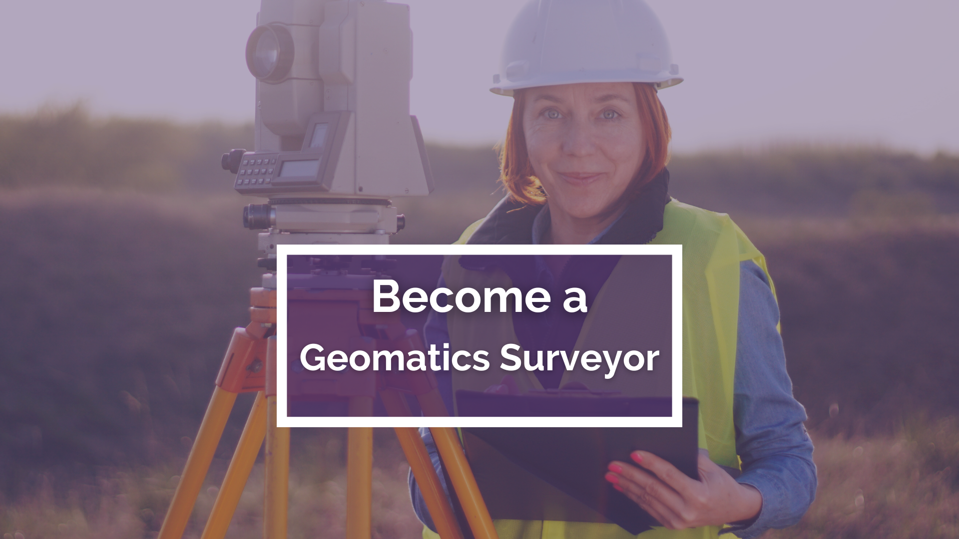
Become a Geomatics Surveyor
Chartered Geomatics Surveyors are the experts behind the accurate mapping and measurement of our built and natural environment. Using cutting-edge technology, from satellite imagery to 3D laser scanning, they provide critical spatial data that supports everything from urban planning and construction to environmental conservation and offshore engineering.
What do Geomatics Surveyors do?
Geomatics Surveyors collect, analyze, and interpret geospatial information to create highly detailed digital maps and models. Their expertise extends to land surveying, hydrographic mapping, utility detection, and monitoring infrastructure for movement or deformation. Their work is essential in projects ranging from major infrastructure developments to climate change analysis and disaster management.
Careers in Geomatics Surveying
Step into an exciting career where technology meets problem-solving! As a Geomatics Surveyor, you’ll work in diverse industries, using drones, LiDAR, and Geographic Information Systems (GIS) to shape the future of smart cities, sustainable land use, and digital mapping.
If you’re passionate about technology, data, and making a real-world impact, this career offers limitless opportunities in a rapidly evolving field.

What we do

Precision Mapping for Smarter Planning
We create highly accurate 2D and 3D topographical surveys, providing the critical data needed for seamless design, development, and construction.

Protect Your Property with Expert Boundary Surveys
Our legal and boundary surveys help define property lines, resolve disputes, and ensure accurate land registration with legally sound mapping.

Bring Projects to Life with 3D Laser Scanning & BIM
We capture high-resolution 3D models, integrating real-world data into Building Information Modelling (BIM) for smarter, more efficient project execution.

Uncover Hidden Utilities & Infrastructure
Using cutting-edge technologies like Ground Penetrating Radar (GPR) and LiDAR, we locate underground and above-ground utilities, minimizing risk and costly errors.

Revolutionizing Land & Water Mapping
From coastal and marine environments to floodplain analysis, our aerial and hydrographic surveys provide essential insights for engineering, environmental, and infrastructure projects.

Monitor, Protect, and Future-Proof Your Assets
Our advanced monitoring and deformation surveys track movement in land, structures, and infrastructure, ensuring long-term stability and safety

Choose a Career in Geomatics Surveying
Step into a world where technology meets precision! As a Geomatics Surveyor, you’ll use cutting-edge tools like drones, LiDAR, and 3D scanning to map landscapes, support urban planning, and drive environmental conservation.
This career takes you beyond the office and into the field, where you’ll survey diverse sites, collaborate with industry experts, and provide essential data for major projects. Your work ensures accuracy in construction, land development, and legal boundaries.
Every project is a new challenge—whether mapping landmarks, monitoring structures, or designing smart cities. If you love technology, problem-solving, and real-world impact, Geomatics Surveying is your gateway to a dynamic and rewarding career!
Why choose a career in Geomatics Surveying


