Professional Guidance Note – 1st Edition
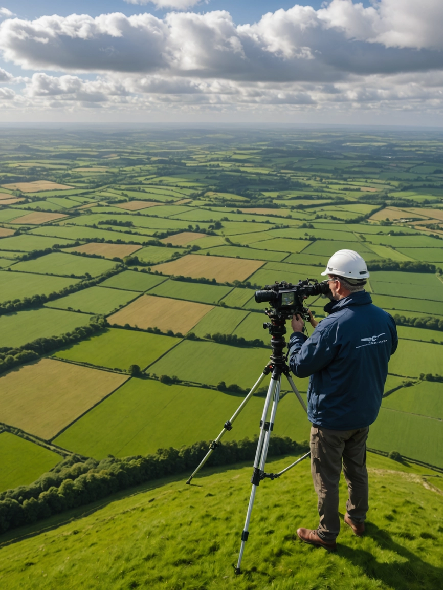
This professional guidance note, provides a comprehensive framework for the commissioning and execution of earth observation and aerial survey projects within Ireland. Adapted from the RICS 6th Edition standard, it outlines best practices for data capture using platforms such as UAVs, satellites, and manned aircraft, and covers techniques including aerial photography, LiDAR, and multispectral imaging. Aimed at surveyors, engineers, and environmental professionals, the document supports informed decision-making around project planning, data accuracy, and deliverables, contributing to improved outcomes in mapping, infrastructure, and environmental analysis.

